Downloading installation information
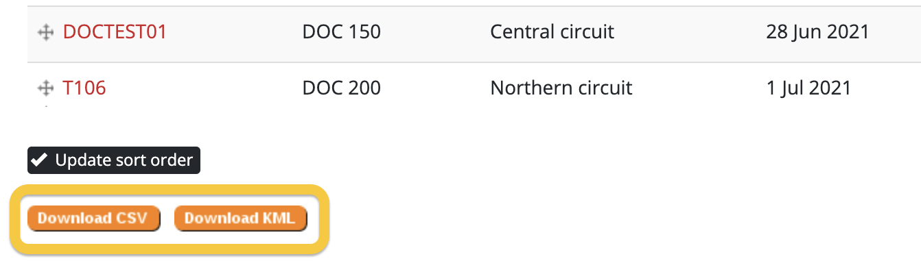
Installation data (including name, type, location etc.) can be downloaded to a CSV or KML file. CSV files are most commonly used - they can be viewed and edited easily in spreadsheet programs like Excel or Google Sheets. KML files are useful if you want to open the data in ArcGis Explorer or Google Earth.
Downloading installation record data is a different process.
To download installation information:
- Navigate to the Traps, Bait Stations, or Monitoring Stations section of your project.
- (Optional) Apply any filters using the filter bar (e.g. filter by line). The downloaded file will respect your current filters for that overview page
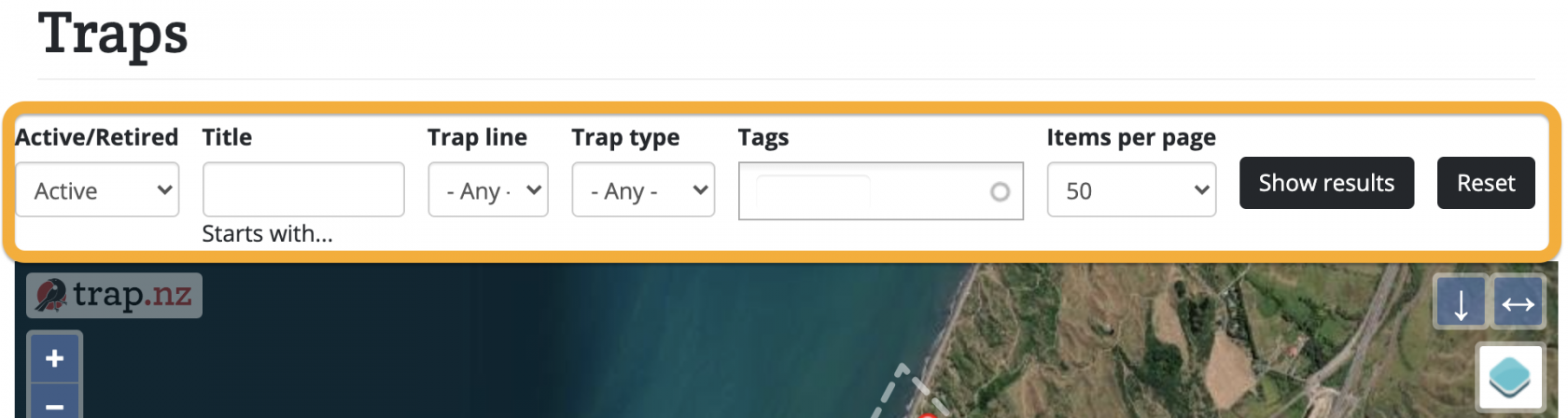
- Click the "Show results" button to populate the table below the map.
- Scroll down to the bottom of the page and click the "Download CSV" button to download a CSV file, or the "Download KML" button to download a KML file.

- When prompted, select a location on your device to save the file.